2018 – Gata Walk 8: La Bassa, Lliber

Bassa de Arcs (Also called Bassa de Sopena / Sapena o dels Arcs
Click for walk instructions – https://wp.me/p8Y5aU-fD
Click for photo album of walk – https://photos.app.goo.gl/NCJME80aYqqV2fHl2
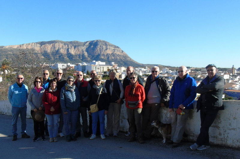
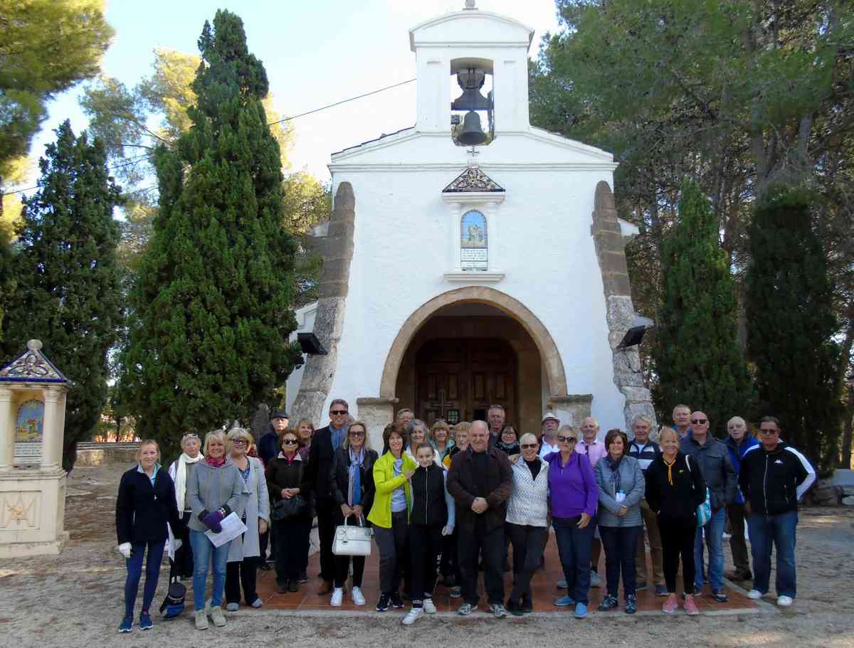
It was a great day for a gentle walk in the Jalon valley. More than 30 people and 6 dogs joined us for this beautiful walk with the backdrop of the vines and the barranco (dry river bed). Though it is one of the shorter walks, it does have some interesting features.
Name: It seems that the name refers to Sapena – the master workers who built it or Arcs due to its construction.
Location: In the Jalon Valley, Costa Blanca, Spain between Lliber and Jalon town.
Date: There is no historic data that allows to accurately date the monument but it is thought to have been built in the C18th or possibly earlier.
Use: This was a cistern or rain tank (aljibe or bassa) that was primarily used to collect rainwater and to store excess water coming from the surrounding land and then later irrigating the vineyards, fields and gardens. It is also said that many of the older inhabitants of the area learnt to swim in it using two pumpkins tied together. There are also memories of fishing there in the past. It is also said by some sources that the water was used to provide drinking water for people and animals.
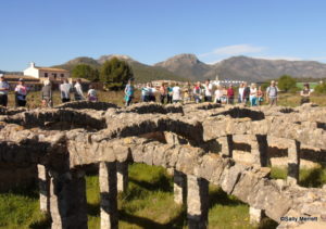
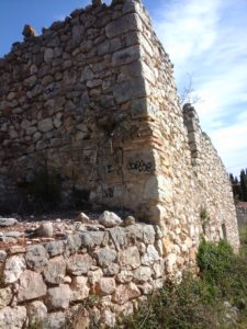
Description: It is said that this structure is of interest because of its preservation, its aesthetic value and historically because of its role in water management in the area. It is a rectangular structure, dug in the earth, measures approximately 16.70m long x 12.30 m wide x 4 m high. Inside there are 12 square pillars, aligned in 3 rows of 4 columns each.
These rest on the arches (the arcs). The existence of these columns had a fully functional coverage to water vineyards in the hottest months, but gave shade, thus preserving the stored water temperature. The aim of the arches was to support a cane cover or a cane framework (emparru – local reeds) that emerged from ceramic pieces that can be seen touching the wall, underground ceramic pipework that is used for drying or sanitation of wetlands or to drive wa

ter to the sewer (caduf). In a corner of the raft, you can see a long box which was used to remove irrigation water from a ditch (taona)
The building is made of irregular, limestone masonry blocks and crude mortar. The inside of the walls was covered with a fine lime mortar to waterproof it.
Moli de Lliber
Name: Lliber Mill because it is near Lliber and was mainly used by the people there.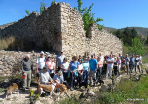
Location: Jalon
Description: This type of mill was common in the area and used to be important for grinding the staple grains for locals. It is 1 of 4 mills that formed a complex irrigation system in the Jalon valley. The remains of the mill pond are found next as fed by the Giner Mill water channel which ran next to the path. On this side of the mill pond the two horseshoe shaped hubs over which water fell to drive the millstones that ground the grain can be seen.
On the other side of the mill, two arched canopies remain as well as the pit or the hole through which the mill’s water ran
out. In the C17th, there were 4 orchards located on the banks of the river and a 5th that would be located at the foot of the Castle of Aixa which is found in the boundaries of Xaló. There was mention of the existence of a fountain and a pond in history. Apart from the irrigation zone many others took advantage of the water that fed the hydraulic system of the 4 mills within the Jalon valley. The 4 mills used the waters of the Xaló river to move the mills, because their location in the bottom of a valley surrounded by mountains does not allow the wind to blow with the force required for the installation of windmills.